The best map of Mystic & Stonington CT for over 25 years!

EXPLORE MYSTIC LIKE A LOCAL!
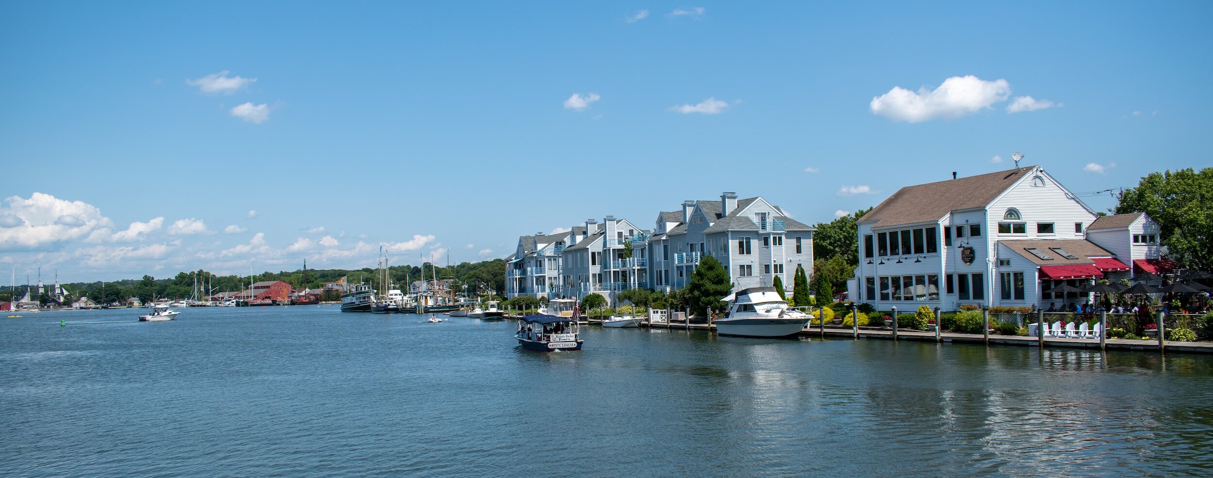
Our map began way before we all had GPS and Google Maps on our phones! What started as a unique, hand drawn printed map in 1998, continues to be one of the most beloved resources for the coastal towns of Mystic, Noank and Stonington Connecticut. Look for our FREE printed maps around town.
This site is a great tool for giving you the “lay of the land” as you plan a trip to the Mystic area. It provides details and links to businesses in the area that will help make your visit enjoyable. A unique feature of our site is the interactive map (Side 1 and Side 2) which not only gives you the overview of the town and it’s character, but also links to the businesses labeled on the map for more info.
Or, search the area by categories like Attractions, Lodging, Dining, Shopping and Services, and also check out our Photo Gallery and Deals & Travel Tips pages to explore the Mystic area like a local!
If you’re a local business owner, be sure to see the information specifically for advertisers so we can help put your business “on the map”!
Finally if you need to buy maps for a wedding, conference or special event, you can now purchase maps here!
We are so glad you’re here! Enjoy!
~ Gary & Gloria Owens, creators & publishers of Lighthouse Maps, LLC.

SIDE 1 (Vertical):
Downtown Mystic, Olde Mistick Village and North Stonington
Explore classic Mystic, from the Aquarium and Olde Mistick Village to the Seaport and the Historic Downtown with the famous drawbridge over the Mystic River. Plus see the I-95 connections to North Mystic and North Stonington.

SIDE 2 (Horizontal):
Downtown Mystic, Noank & Stonington Village
This side of the map shows the connection between Noank, the full map of Historic Downtown Mystic,, Mystic Harbor, Route 1 towards Stonington and the charming Stonington Village peninsula.
Explore by Categories


